Civil 3D Survey As built
Field to Finish As built Surveying
Product: Autodesk Civil 3D | Subject: Surveying with Civil 3D
In this exercise, we will learn about Civil 3D Survey as built.
7.1 As-built survey
The next step is the As-built phase after the project construction is completed. We use the as-built data to check if the stakeout and constructed project conform to the design specifications.
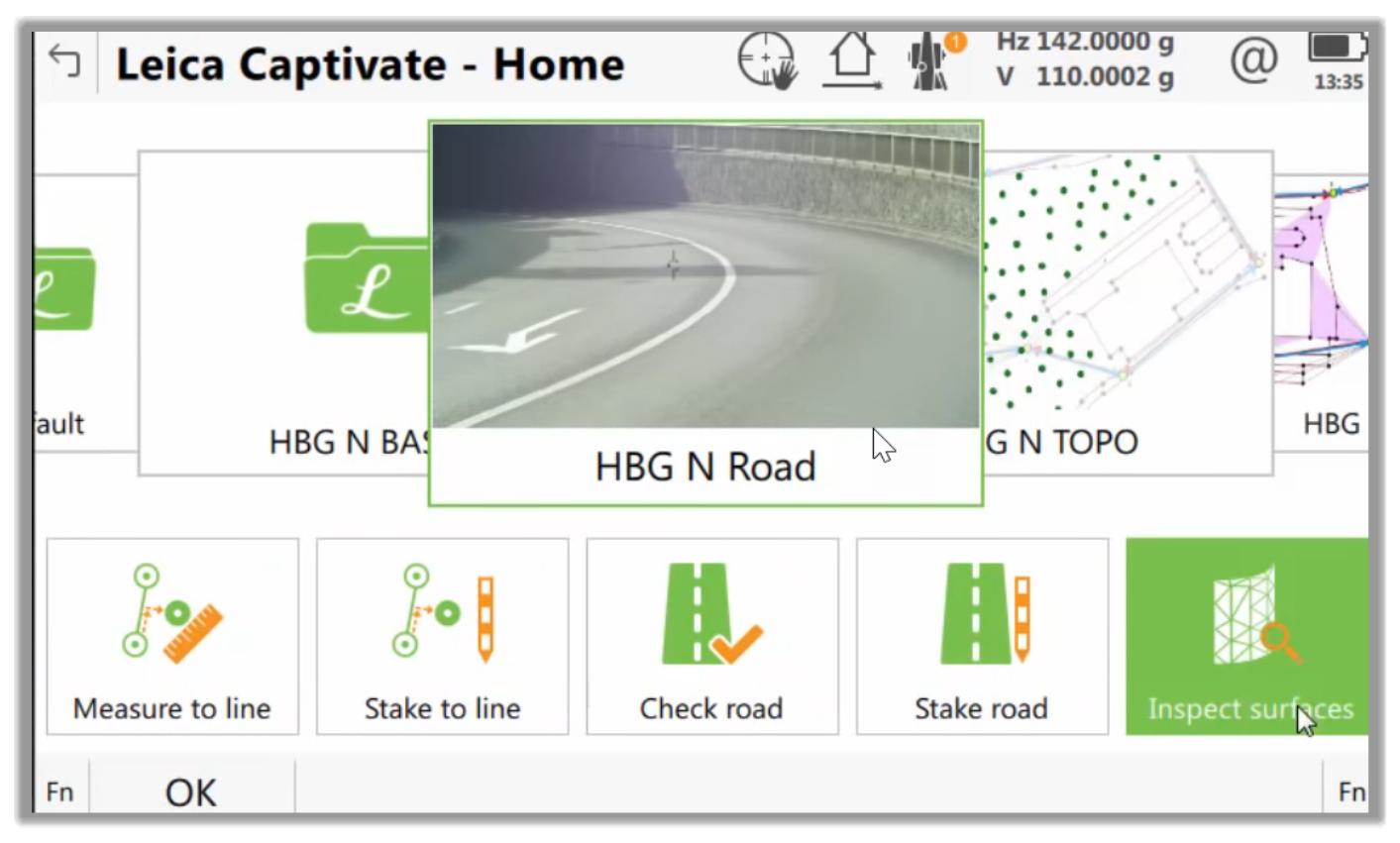
- The first step we will do is to scan the surface of the road for a new job. Therefore, we have the as-built data in the form of a point cloud.
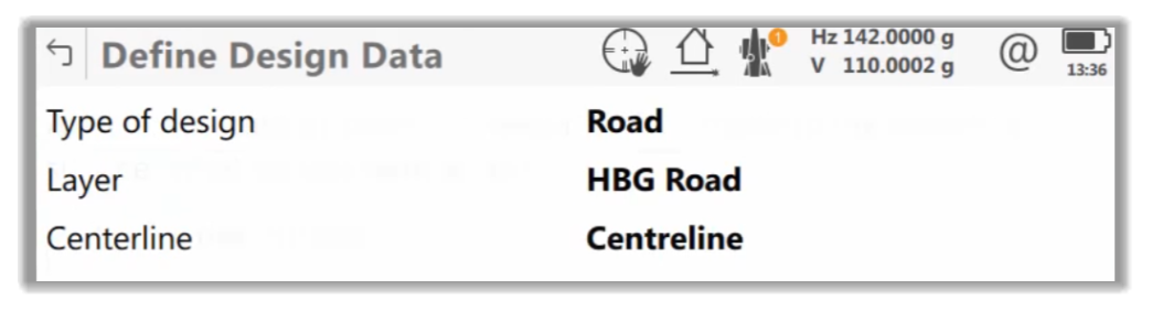
- By using an Inspect Surfaces app, we can compare this point cloud against the design data. This is the same design that we created in CAD and used for stakeout during the construction phase.
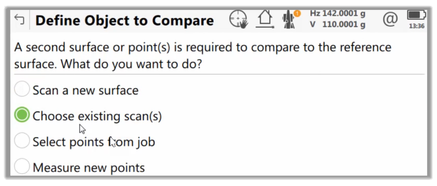
- Because we are checking the construction against the design, we will select the designer as a Reference surface and the scans as comparison objects.
- Next, we can define a color scale. This scale establishes a kind of heat map of deviations of the as built against the design. For example, we can color points that are out of tolerance above the design in dark red and points below the design in dark blue.
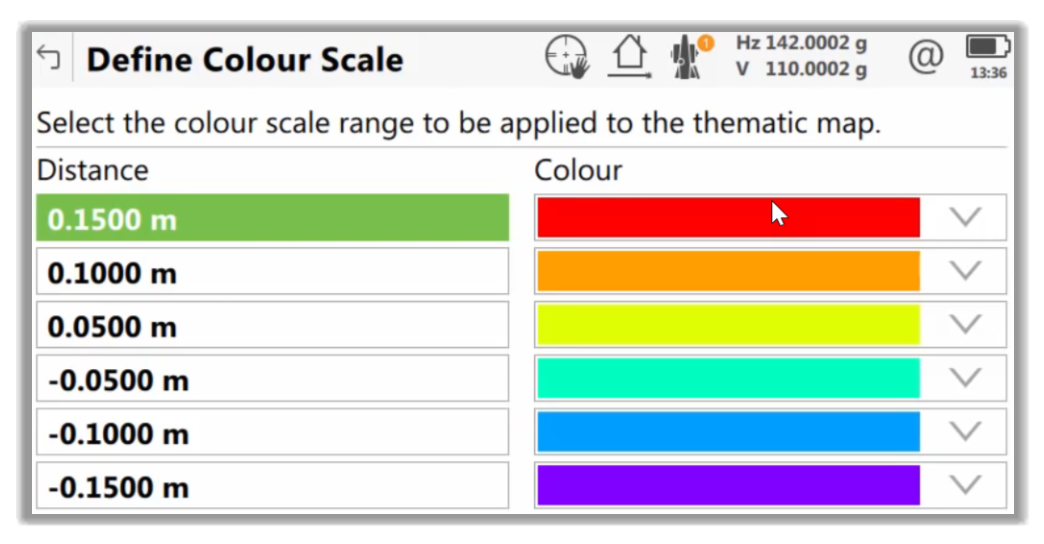
- Now, each point in the point cloud is colored according to its distance from the design surface to identify the areas with a deviation that we want to work on.
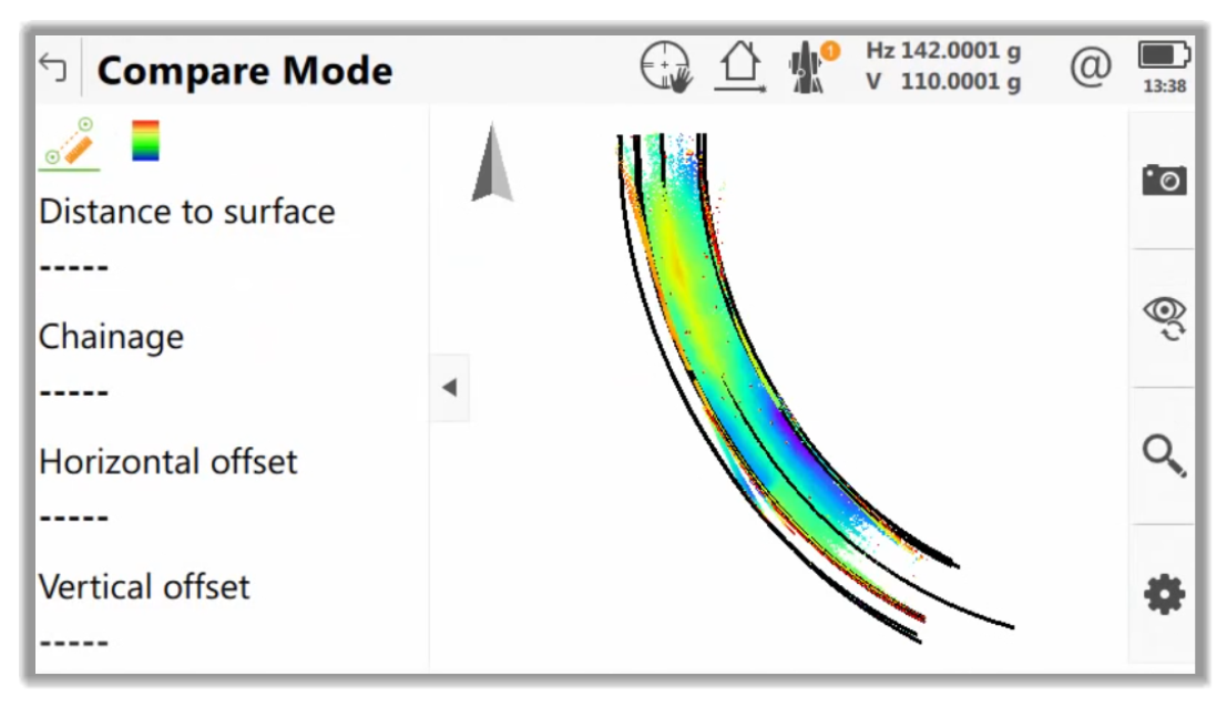
- This makes it easy to identify individual problematic points and reports the issues.
Full Course and Free Book
-

Civil 3D Essentials Book and Practice Files
Course4.9 average rating (69 reviews)This mini-course offers a downloadable manual of Civil 3D. The eBook covers the features needed to successfully design most civil engineering projects, from field data collection to final design and layout.
Purchase$19.99
-

Advanced Civil 3D: Surveying and Construction
Course5.0 average rating (4 reviews)In this Online Survey and Construction Civil 3D training course, participants will learn and apply the tools offered by Civil 3D, to perform advanced survey and construction tasks.
$99 / year